


Rethinking History: It’s More Than Dates and Names
July 6, 2016
The Massacre at St. Ignatius: A Symptom of Nigeria’s Deeper Ills
April 24, 2018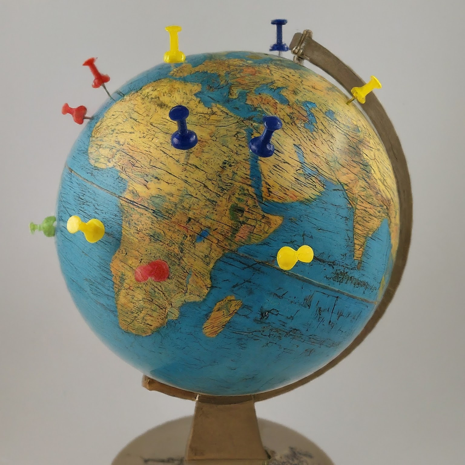
I n the realm of digital history, it's easy to fall into the trap of equating "place" with a simple geolocation – a pin on a map. But what if we moved beyond this limited perspective? Historian Mark Tebeau suggests that focusing solely on geolocation can actually hinder our understanding of the past. Instead, he advocates for layering stories within broader historical contexts to make them "more accessible intellectually."[1]
This resonates deeply with my own research on development project sites. When examined in isolation, these sites reveal little about the complexities of development initiatives. However, by placing them within a larger historical trajectory, we can uncover richer insights and a deeper understanding of their impact.
Digital Tools: A Double-Edged Sword
Digital tools offer a wealth of possibilities for enriching how we explore and understand place. Crowdsourcing, interactive maps, and personalized guides can empower users to engage with history in dynamic ways. Yet, these same tools can become distractions or prove cumbersome if not implemented strategically.
My own experience with crowdsourcing photographs for a project on African development highlighted this challenge. Despite clear instructions, many submissions were irrelevant to the project's focus. This underscored the need for more nuanced approaches like "community sourcing," where shared authority and training in documentary techniques ensure higher-quality contributions.[2]
Geolocation Reimagined: Enhancing Museum Experiences
While geolocation can be limiting, it also holds immense potential when used thoughtfully. Think of Google's "Now on Tap" feature, which provides real-time information about nearby points of interest, transforming how we experience new places. Museums can harness this technology to create more engaging and personalized visitor experiences. Imagine receiving a notification on your phone about a live demonstration happening nearby as you explore an exhibit!
By integrating geolocation with complementary digital content, museums can avoid information overload and create a more focused and immersive experience. The "World War One: Love and Sorrow" exhibit at the Melbourne Museum exemplifies this approach, offering a mobile app that extends the museum experience beyond the physical space.[3] Visitors can delve deeper into objects and stories that pique their interest, fostering a more meaningful connection with the past.
Lessons Learned: Shaping My Digital History Project
These insights have profoundly influenced my approach to presenting information in my own digital history project. I'm focusing on "people (famous and little-known), places (existing and past structures), and events (nationally – and locally – important) as visible categories for users to browse."[4] Moreover, I'm prioritizing a mobile-friendly design that avoids overwhelming users with information, recognizing the importance of capturing and maintaining their attention.
By moving beyond a purely geographical understanding of place and embracing the potential of digital tools while remaining mindful of their limitations, we can create richer and more engaging digital history experiences.
[1] Mark Tebeau, "Listening to the City: Oral History and Place in the Digital Era," The Oral History Review 40,1 (2013): 30.
[2] Ibid, 30.
[3] Hart, T. and Brownbill, J. "World War One: Love and Sorrow – A hybrid exhibition mobile experience." In Museums and the Web Asia 2014, N. Proctor & R. Cherry (eds). Silver Spring, MD: Museums and the Web. Published September 19, 2014.
[4] Brennan, Sheila and Sharon Leon. "Building Histories of the National Mall: A Guide to Creating a Digital Public History Project." Roy Rosenzweig Center for History and New Media. October, 2015. 17.

